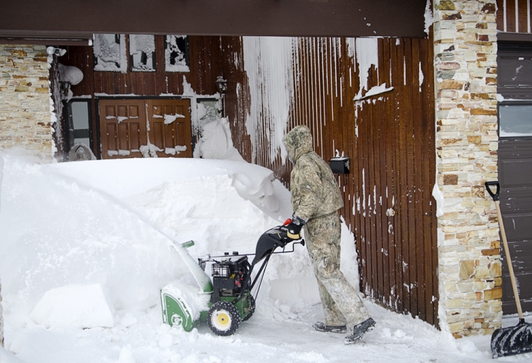
Special weather statements in parts of Saskatchewan have been lifted, while Environment Canada is advising some areas to prepare for a lot of snow to fall quickly.
Environment Canada predicts that as a low-pressure system tracks through southern Saskatchewan, the northeastern Grainbelt areas will be hit hardest. Melfort and Hudson Bay areas could see 10 to 20 centimetres of heavy, wet snow, while surrounding regions will likely get five to 10 centimetres.
While other areas might have seen the special weather statement end, they're still due for a considerable cool-down starting tomorrow.
Highs are in double digits throughout southern Saskatchewan today, and as high as 19 C in Weyburn and Estevan (where the average daily high this time of year is 11 C). But it'll be a while before even seasonal temperatures are seen again.
"We're looking at below-normal temperatures for all of southern Saskatchewan for Monday, Tuesday, and probably Wednesday and Thursday," said Environment Canada Meteorologist David Baggaley. "We're also looking at some accumulating snow for the eastern half of southern Saskatchewan. We're looking at probably a few centimetres for, say, Regina and Estevan for Monday. But not the really big accumulations that were possible in the earlier analysis."
Baggaley said some previous weather statements were ended as they are now able to focus more accurately on which specific regions will get hit by the most snow.
Provincial guidelines caution against travel in and out of Regina, Moose Jaw, and Weyburn areas. Now there's more incentive to limit travel around the province.
"This is a very potent system," said Baggaley. "The places that will be getting the heavy snowfall amount - 15 to 20 centimetres - that's going to fall in a fairly short amount of time, so travelling in that area would be impaired. We're not looking at very cold temperatures, but it's a lot of snow coming all at once."
Check your latest forecast HERE.


